Do you know about tracking units?
Tracking devices, tags, ticks, tracker, GPS… There are many different names and types in play when we want to track equipment and machinery.
It makes good sense to use location systems to keep track of tools, machines, cars or other equipment in a variety of contexts in the vast majority of industries. The different devices and technologies each have their own characteristics and are suitable for specific use situations.
Read along and gain insight into some of the concepts. You can also read more about how we use the technologies in our kajoule solution.
Bluetooth – in short
The units are small, so they work well where there is not much room to mount the unit, for example on hand tools. The size also makes it easy to fit securely on major items, such as trailers or cars
Bluetooth devices cannot send data by themselves: They are dependent on another device, such as a mobile phone or a desktop unit to pass location data on to a system, for example, in the cloud
If the device to transmit data from the Bluetooth device is a mobile phone, it should typically be within a range of 30 meters of the Bluetooth device
The device that transmits data from the Bluetooth device must have turned on its Bluetooth connection
Bluetooth devices typically rely on the BLe standard, which focuses on low battery consumption
Bluetooth in our kajoule solution
kajoule works automatically with an app. This means that the user does not have to do anything - it is the app that collects data from the Bluetooth devices and automatically sends to the kajoule system.
The kajoule app on a mobile phone searches automatically for Bluetooth devices nearby. When the app ‘sees’ a device, the mobile sends GPS location data, time and who has ‘seen’ the device. Location data is sent to the cloud-based system.
When the user needs to know where a given piece of equipment is located, the desired equipment is selected in the app. The app shows where the equipment is and who has last seen it and when. The app also allows you to call the person who has 'seen' the equipment with a single click.
kajoule has been developed so that users from different companies can help each other. This means that a user from Company X who are in the vicinity af a device belonging to Company Y will automatically submit data on the location of the Y device. However, the X user cannot see this happening because only Y users have access to view data about Y devices in their system. If user X's mobile phone provides data on Y devices, it will not appear in user Y's list who has last seen the Y device. The more users using kaojule, the more data will be collected and forwarded. This means that we get a strong, accurate and updated monitoring of the devices at all times. The idea is that we can help each other - when the app is active and collects information.
GPS – in short
GPS units themselves transmit data about their position to a system, for example in the cloud
The device does not transmit data all the time, but is activated at a specific interval
The frequency of data transmission is set based on how often you want new information about the position of the device
GPS devices require a subscription to function (e.g. a data mobile subscription)
The GPS device uses more power than the Bluetooth device and has a built-in battery. It can also be supplied with an external power supply so that the battery life does not have a major impact
GPS in our kajoule solution
Unlike the with Bluetooth solution, the GPS units themselves send their data to the kajoule system in the cloud. When the user wants to see where a given device is and searches within the app, the app receives the location information directly from the cloud system in the cloud. Thus, with a GPS solution, the kajoule app does not provide the user with information about who was last near the device.
Just around the corner: Narrowband-IoT mast triangulation (NB-IoT)
New devices are continuously being developed. They generally work in the same way as GPS’s but do not use satellite communications. Here you get the position by triangulating between 4G transmitters. It saves significantly on battery consumption and allows you to pick up a position in cases where satellite communication has its limitations such as inside buildings, containers, etc. Please contact us for more knowledge about NB- IoT mast triangulation and devices for using this.
kajoule - in short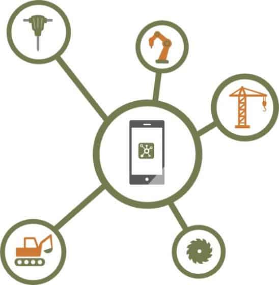
- The hajoule solution service consists of an app as well as a system in Azure (the "cloud").
- kajoule can communicate using both Bluetooth and GPS ticks. With the Bluetooth solution communication is done via the app and with the GPS solution it is done directly to the cloud and outside the app.
- With Bluetooth solution the app on the phone is using Bluetooth to search for ticks nearby and will ‘see’ them in a radius up to 10 to 30 meters depending on the surroundings. When ‘seen’, the GPS position, name (if listed), and time of the ‘seen’ tick are stored in the kajoule system in the cloud.
- With the GPS solution, the GPS device itself sends information about the device's position to the kajoule system in the cloud.
- When the user needs to know where a given device is located, the user selects the item in the app and data associated with the attached tick is retrieved - from the kajoule system in the cloud.
Try it for free
